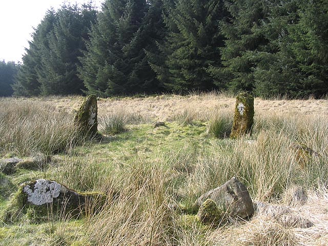
ENCLOSURE
Images


Discussions
No discussions yet. Be the first to share your observations!
Comments
Community Photos
No community photos yet. Upload the first one!
Nearby Sites
Bowl barrow on St Catherine's Down, 680m north of lighthouse on St Catherine's Hill
Shanklin Down Barrows
Bowl barrow 600m north west of Ladyacre Farm
St Catherine's Hill (Isle of Wight)
Bowl barrow 560m ENE of Week Farm: part of a round barrow cemetery on Week Down
Week Down Barrows
Three bowl barrows 540m east of Week Farm: part of a round barrow cemetery on Week Down
Bowl barrow 600m south east of Week Farm: part of a round barrow cemetery on Week Down
Two bowl barrows 530m north east of the radar station: part of a round barrow cemetery on Luccombe Down
Lowtherville
Luccombe Down
Four bowl barrows 400m north east of the radar station: part of a round barrow cemetery on Luccombe Down