Découvrir
Publications de recherche de la communauté MEGALITHICA
Point 2's Winter Solstice Sunrise Alignment: A 1361 BCE Phenomenon
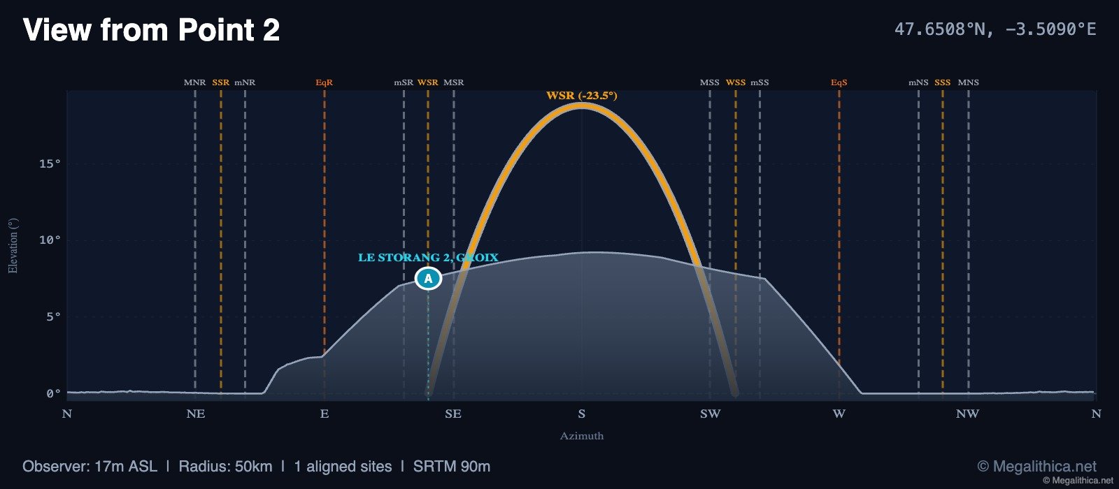
The computed data reveals that Point 2, located at 47.6508°N, -3.5090°E, exhibits a precise alignment with the winter solstice sunrise, dated to 1361 BCE/CE with 100.0% precision and a distance of 5.0 km from the reference point. This suggests that the site was intentionally positioned to mark this specific solar event, indicating a sophisticated understanding of solar movements by its creators. The absence of additional archaeological context, such as artifacts or structural remains, limits our ability to determine the cultural affiliation or function of Point 2. Without such information, it is challenging to draw definitive conclusions about the site's role within its community. In the broader context of archaeoastronomy, the alignment at Point 2 is reminiscent of other prehistoric sites where solar alignments play a central role. For instance, the Caral civilization in Peru, dating back to 2870–1970 BC, has been associated with astronomical orientations in its urban planning. ([arxiv.org](https://arxiv.org/abs/2211.05901?utm_source=openai)) However, without comparable sites in the immediate vicinity of Point 2, it is difficult to contextualize this alignment within regional patterns.
Point 2 Réseau d'alignements
Steele Narrows Provincial Park's Astronomical Alignments Revealed
Steele Narrows Provincial Park Réseau d'alignements
African Structure's Astronomical Alignments: Unveiling Prehistoric Precision
African Structure
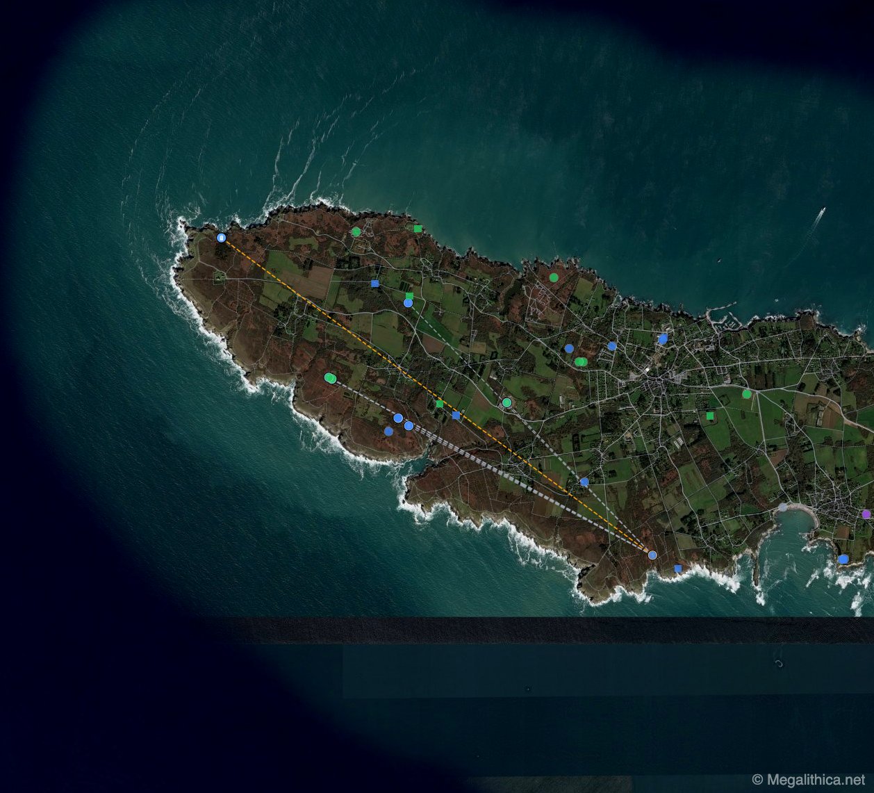
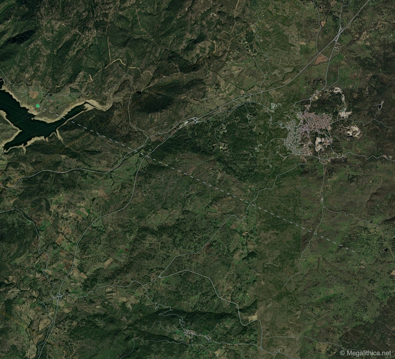
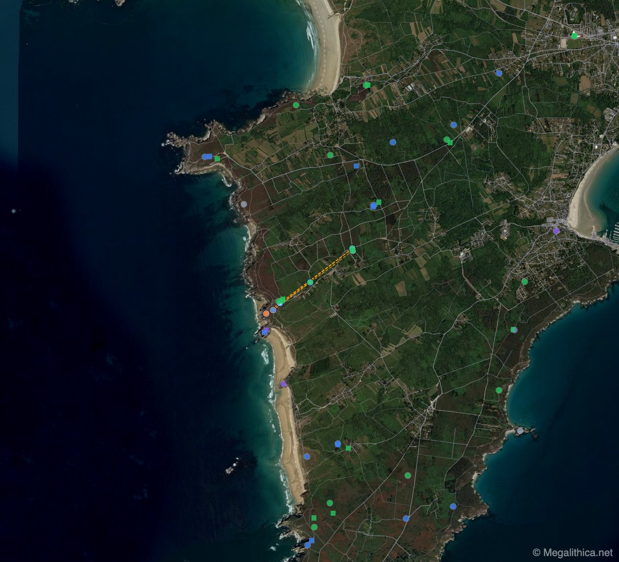 Réseau d'alignements
Dolmen de Lostmarc'h's Astronomical Alignments Unveiled
DOLMEN DE LOSTMARC'H, CROZON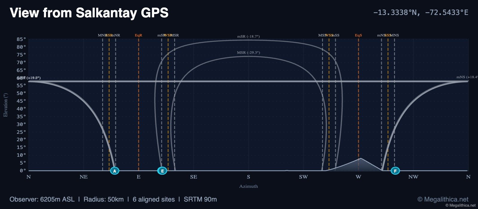 Analyse de l'horizon
Salkantay GPS Reveals Ancient Lunar Alignments in the Peruvian Andes
Salkantay GPS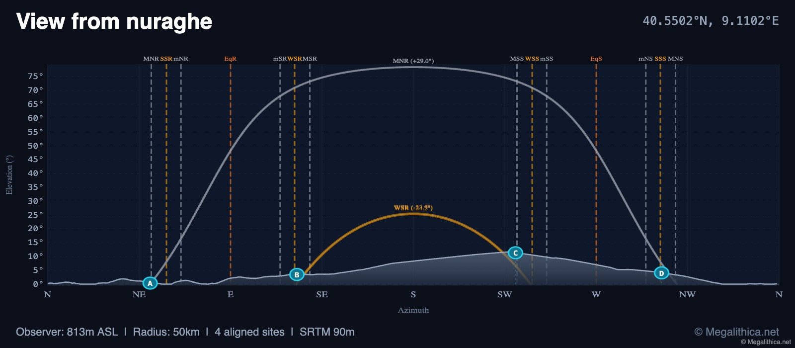 Analyse de l'horizon
Nuraghe's Astronomical Alignments: Unveiling Ancient Celestial Connections
nuraghe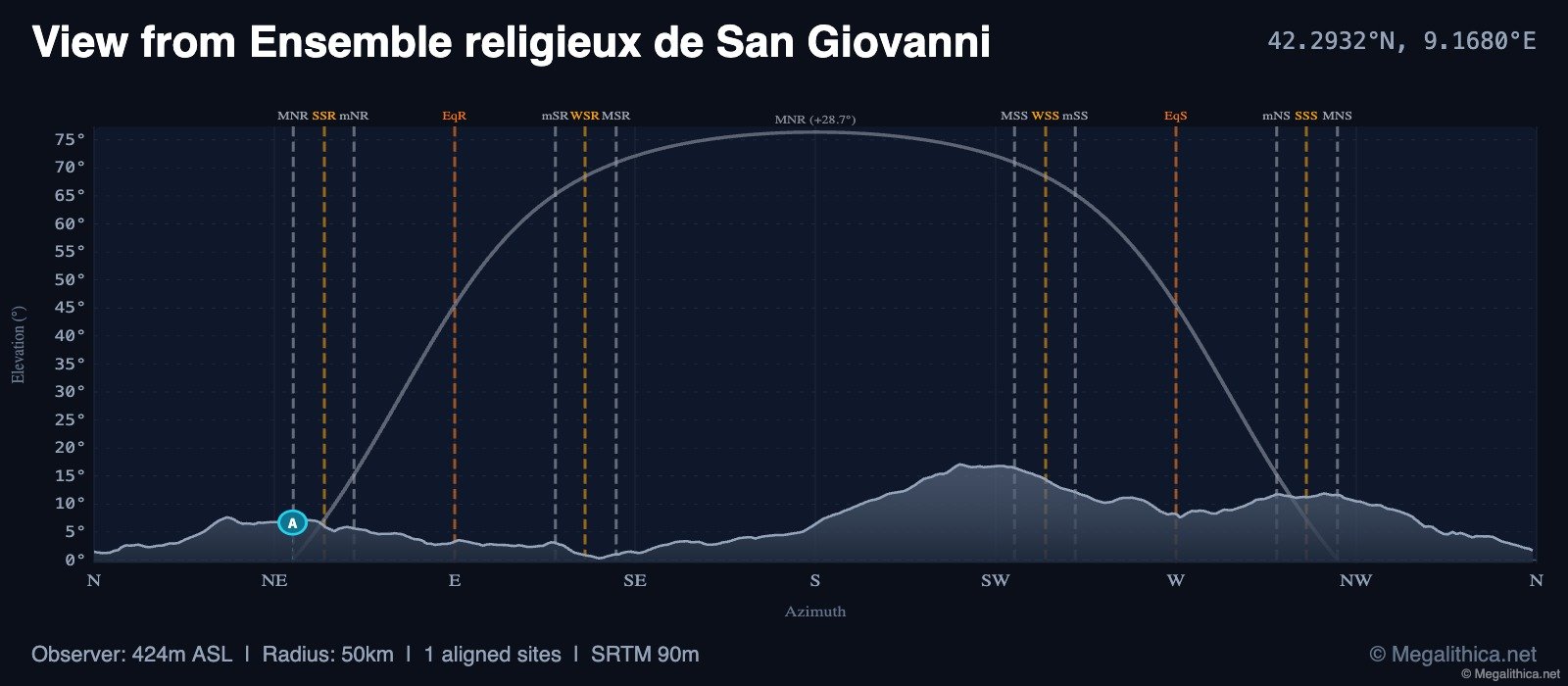 Analyse de l'horizon
Ensemble religieux de San Giovanni's Lunar Alignment with Santa Maria Menhir
Ensemble religieux de San Giovanni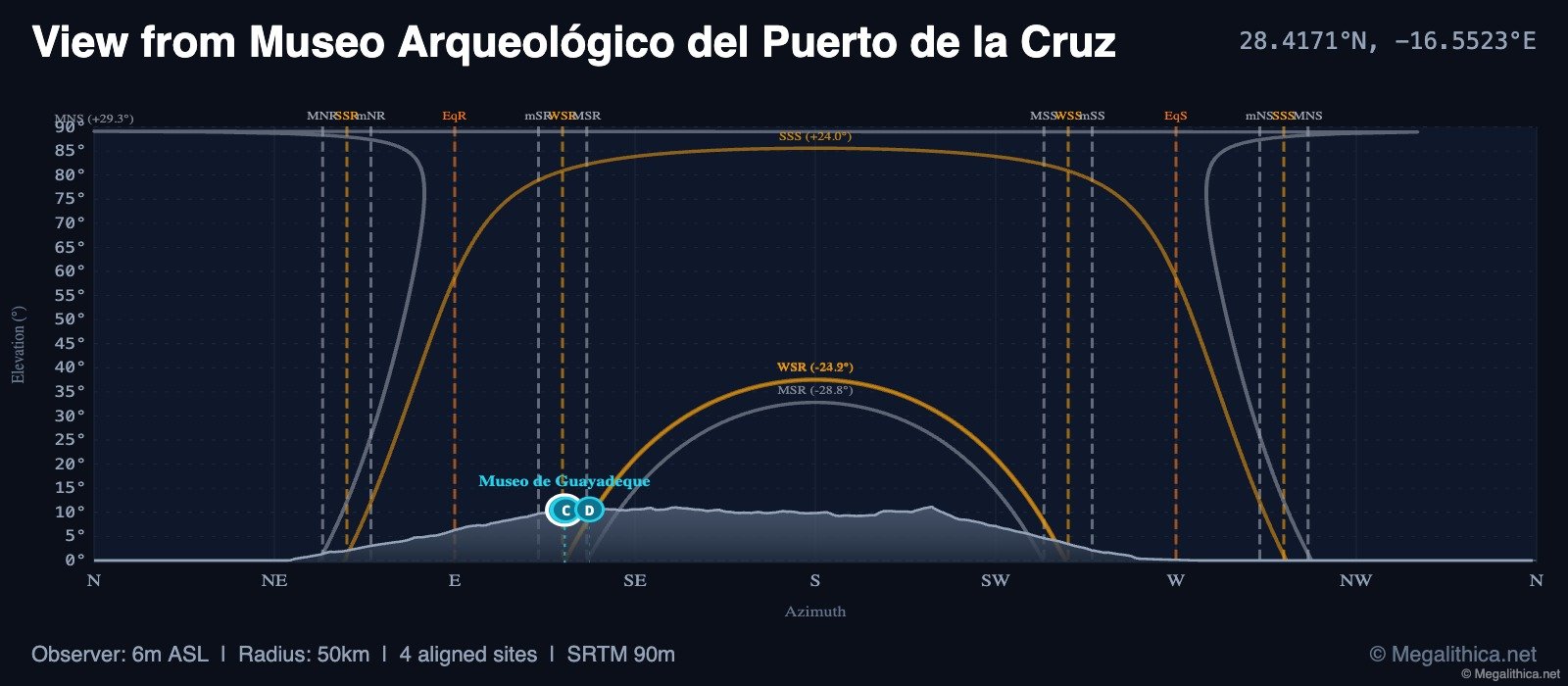 Analyse de l'horizon
Museo Arqueológico del Puerto de la Cruz: Unveiling Ancient Astronomical Alignments
Museo Arqueológico del Puerto de la Cruz
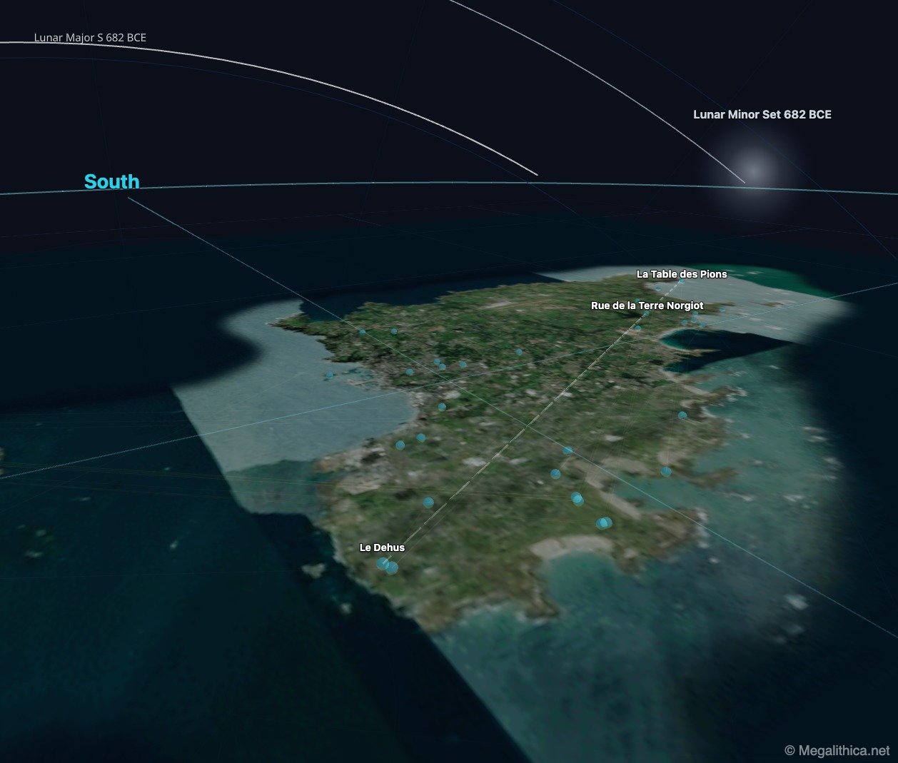 Réseau d'alignements
Little Sark Cist's Astronomical Alignments: Unveiling Prehistoric Precision
Little Sark Cist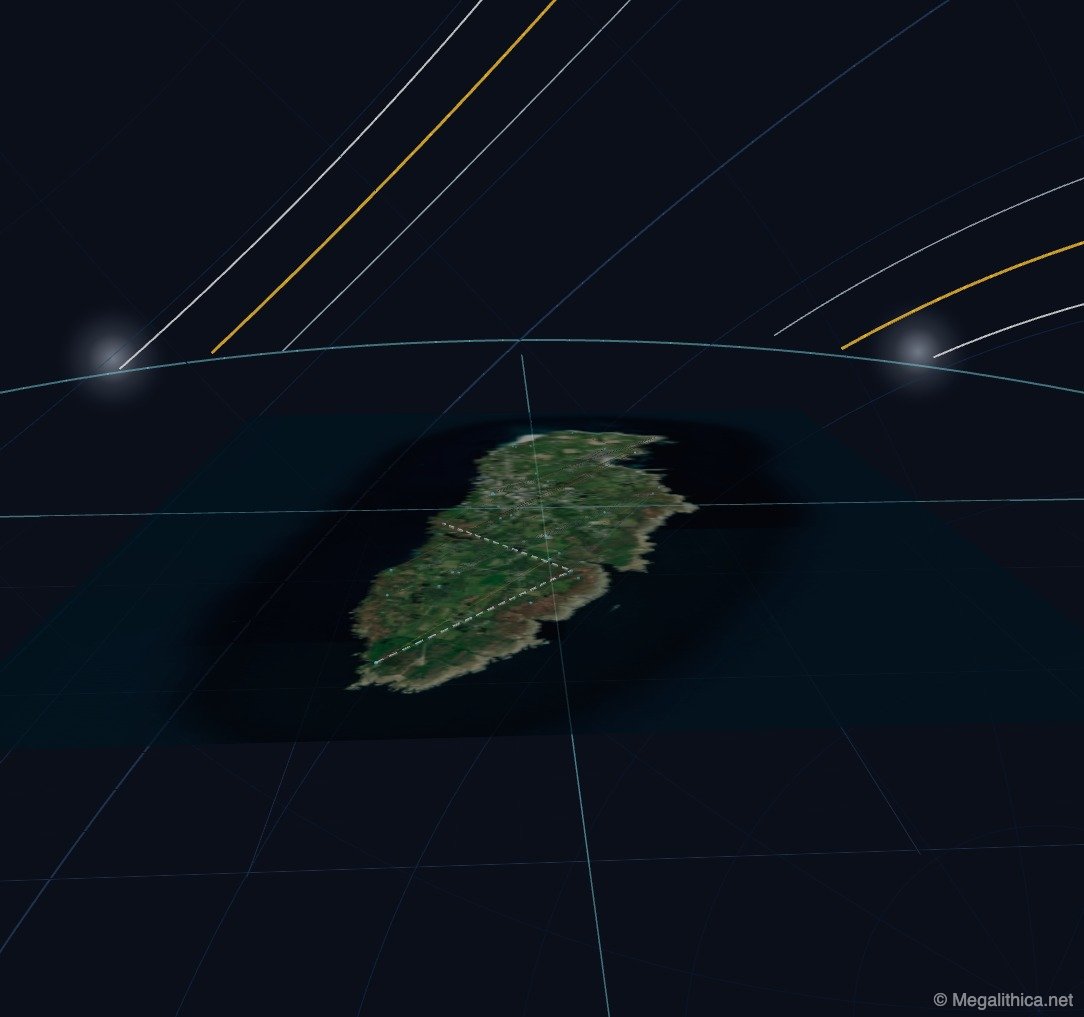 Réseau d'alignements
Point 1's Astronomical Alignments: Unveiling Prehistoric Precision in Groix's Megalithic Landscape
Point 1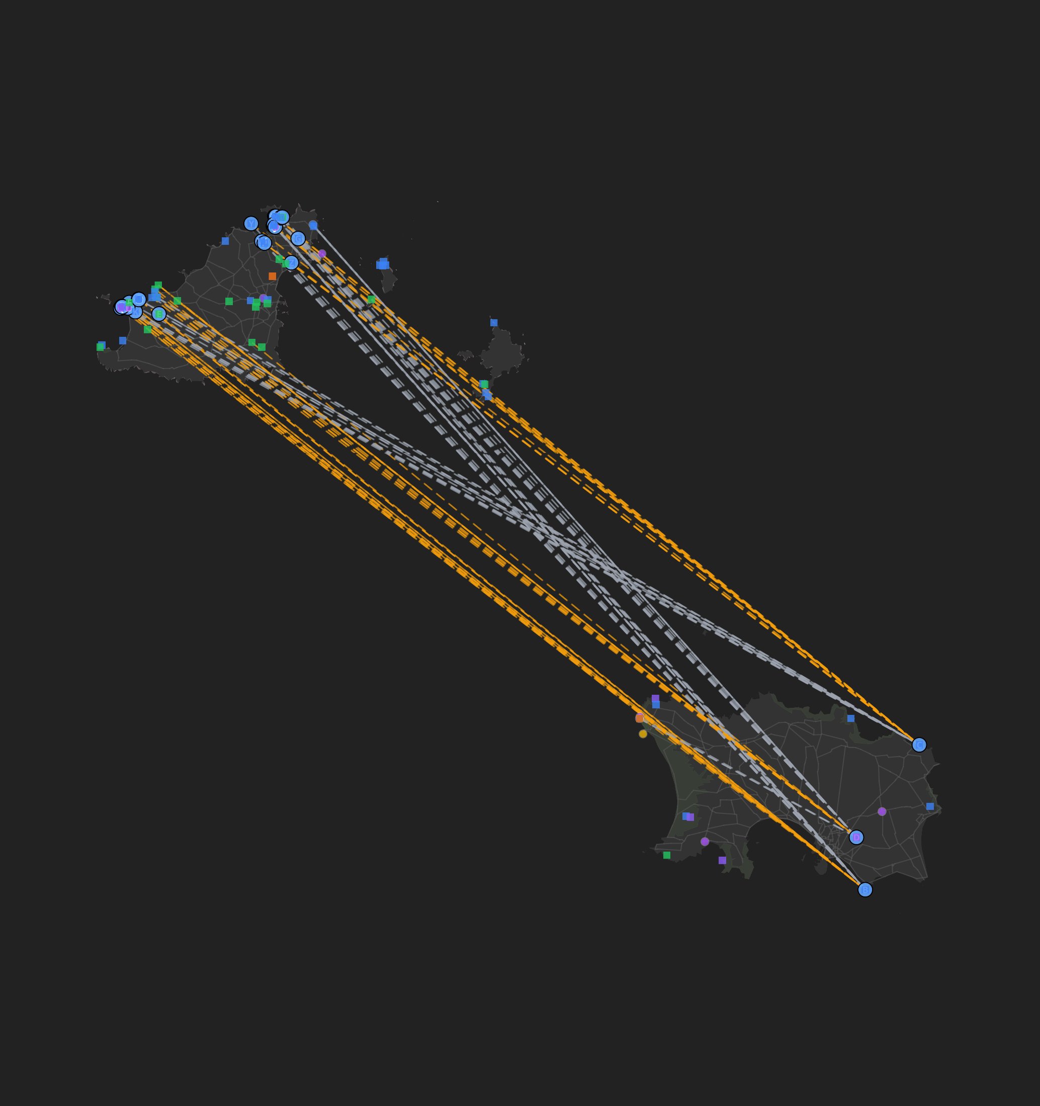 Réseau d'alignements
Archaeoastronomical Alignments at Son Fornés: Insights into Talayotic Architectural Intentions
Son Fornés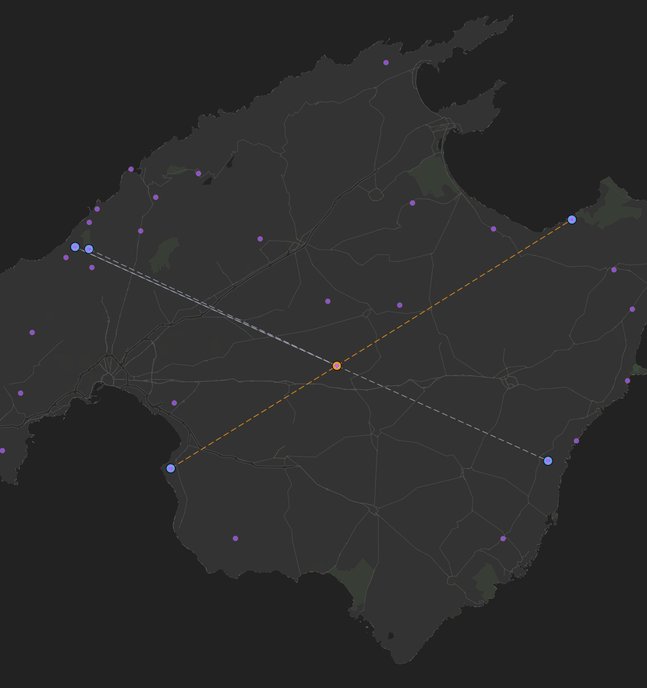 Réseau d'alignements
Archaeoastronomical Alignments at Son Fornés: Insights into Talayotic Architectural Intentions
Son Fornés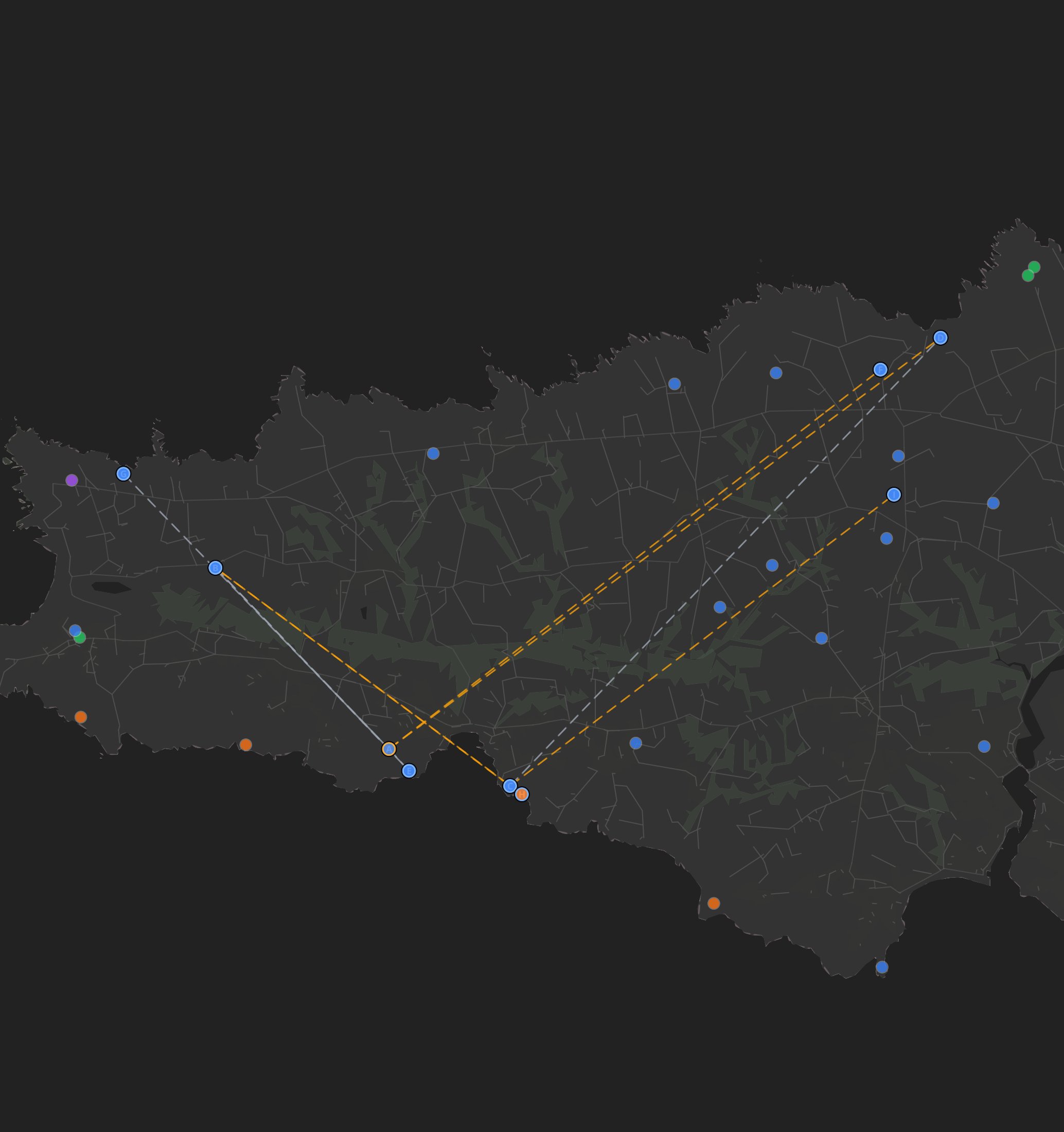 Réseau d'alignements
Archaeoastronomical Alignments of Dolmen de Voguer Men, Plogoff: A Neolithic Perspective
DOLMEN de VOGUER MEN, PLOGOFF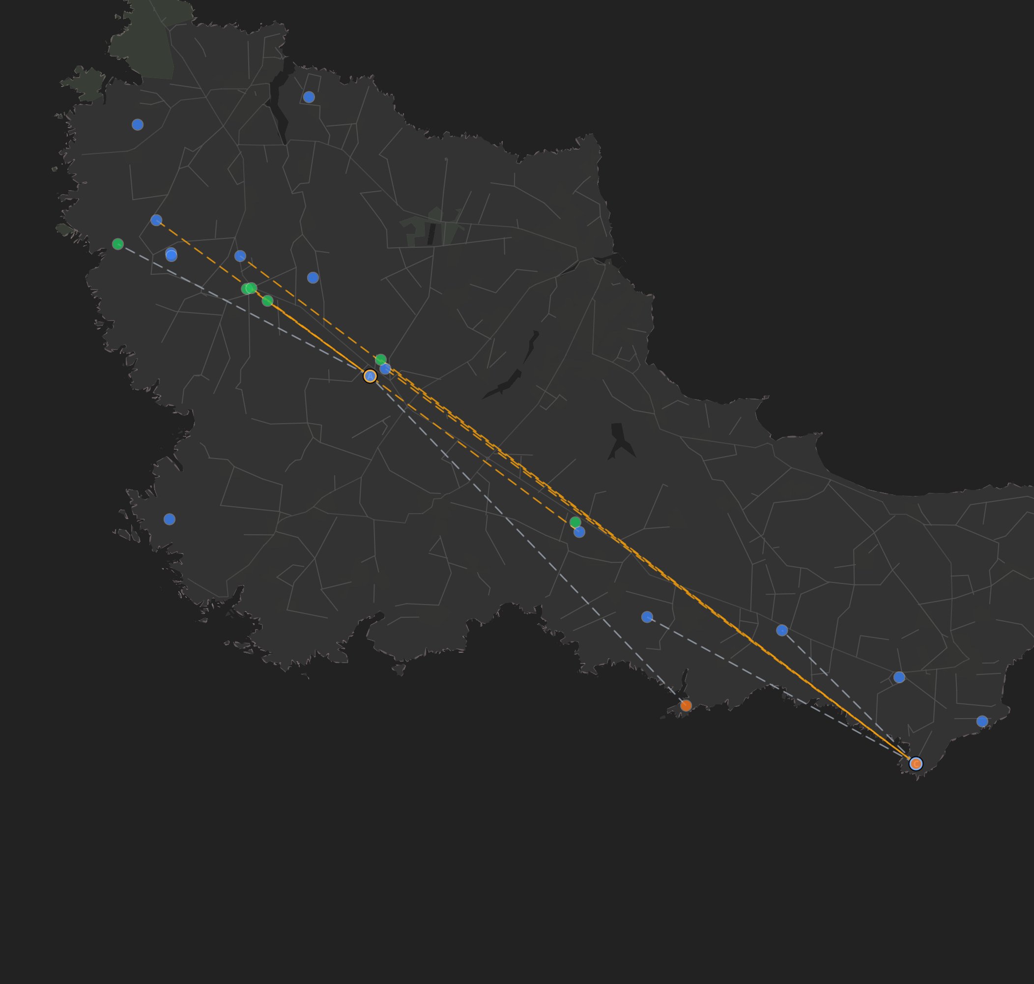 Réseau d'alignements
Archaeoastronomical Alignments of Kersantel, Sauzon: A Comprehensive Analysis
KERSANTEL, SAUZON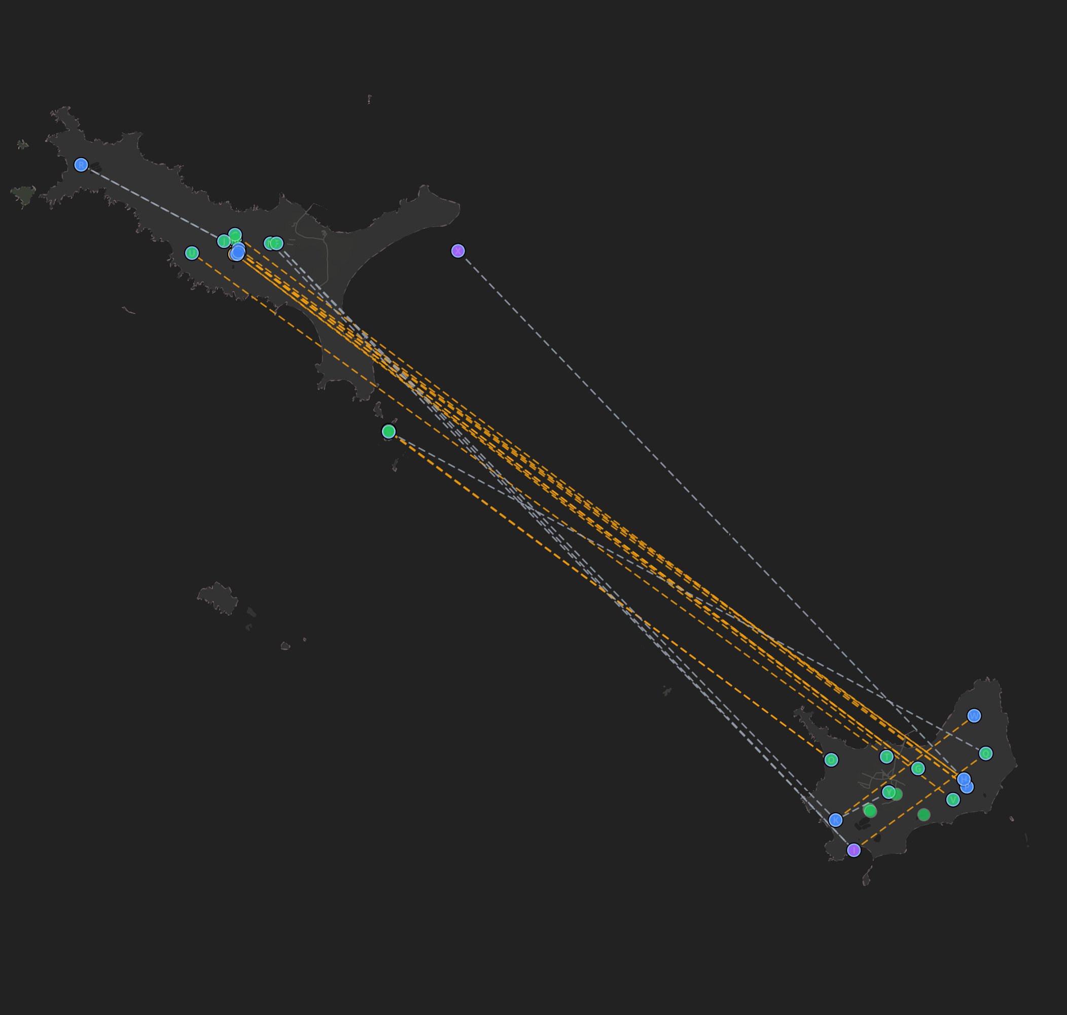 Réseau d'alignements
Unveiling the Archaeoastronomical Network of Menhir Isolé and Île-d'Houat Alignments
Menhir isolé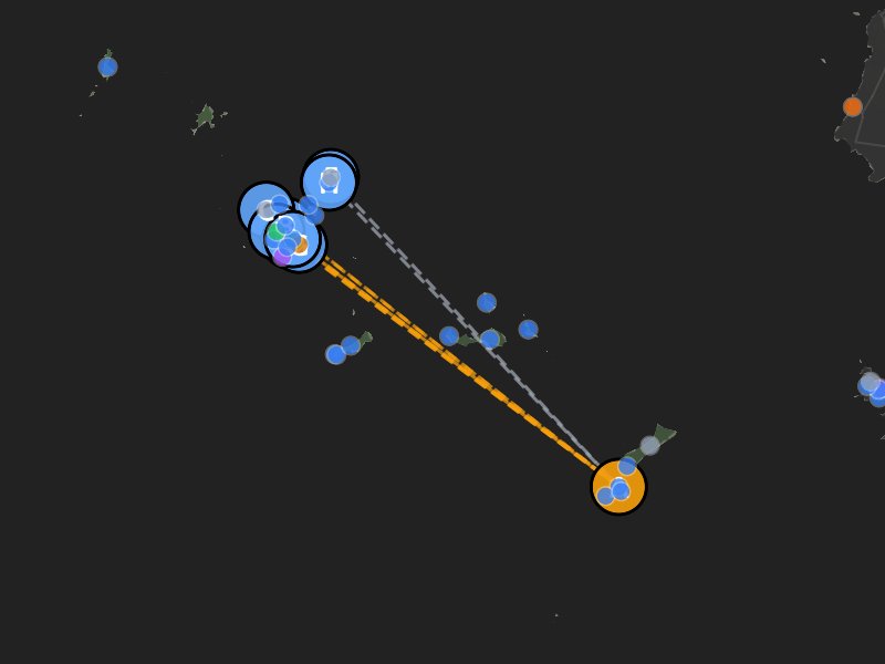 Réseau d'alignements
Archaeoastronomical Alignments at Île Béniguet I, Le Conquet: Insights into Prehistoric Site Interconnections
ILE BENIGUET I, LE CONQUET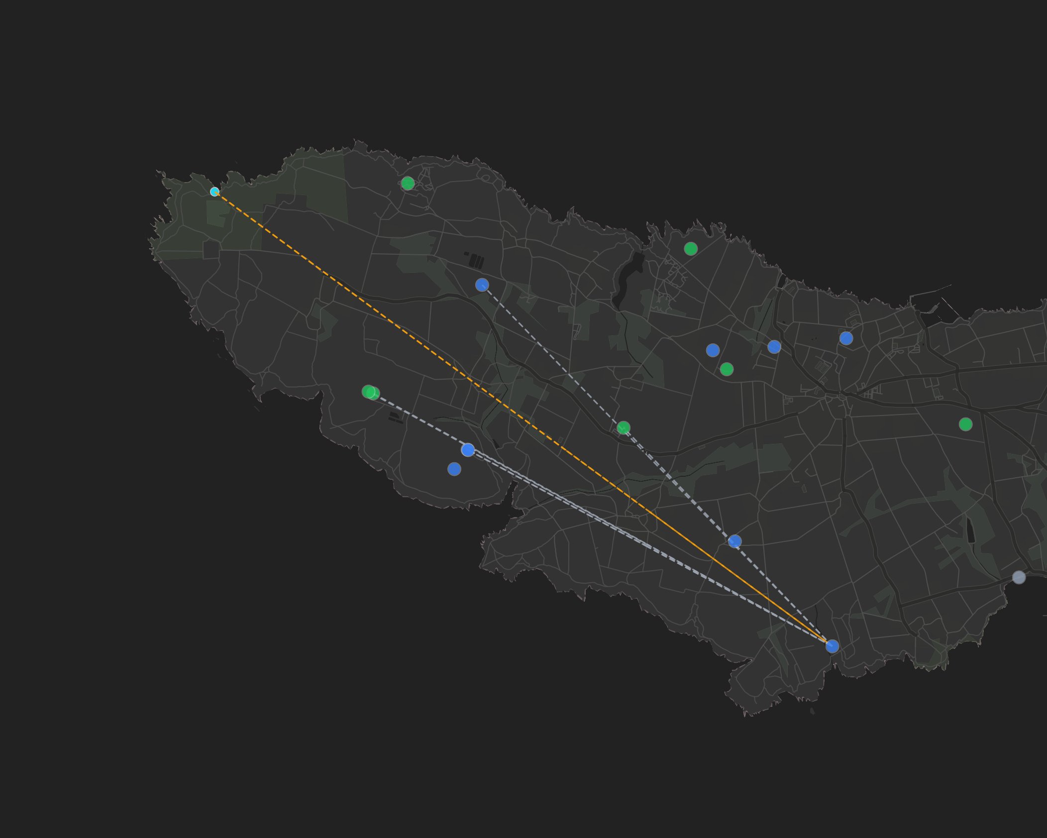 Réseau d'alignements
Archaeoastronomical Alignments at Le Storang 2, Groix: A Neolithic Perspective
LE STORANG 2, GROIX Réseau d'alignements